
What stands out
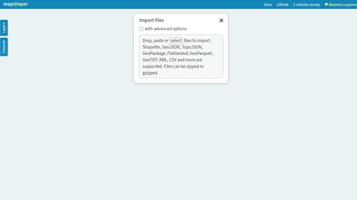
Mapshaper is a free web app for working with Shapefile, GeoJSON, TopoJSON, GeoPackage, FlatGeobuf, GeoParquet, KML, and CSV data. It can inspect layers and attributes, simplify geometry, filter and dissolve features, repair some topology problems, transform coordinates, and export converted map data. Processing in the public web app occurs in the browser.